College Park, Md. - Most people use Google Street View to find their way. Dr. Quynh Nguyen, an epidemiologist and statistician at the University of Maryland School of Public Health, uses it to locate spots where your journey might abruptly end. In a study published June 6 in the British Medical Journal (BMJ) of Injury Prevention, Nguyen uses AI tools to identify key environmental elements impacting car-related collisions as well as cyclist-related and pedestrian-related accidents.
“Car crashes are the leading cause of death for young people between 5 and 29 years old. So it’s crucial to understand how the physical environment can increase or lessen fatal collisions and which communities are most affected by this,” says Nguyen, a professor whose work leverages technology and big data sources to address health disparities.
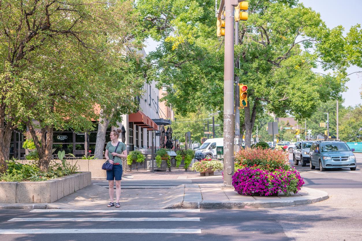
Nguyen and fellow researchers used Google Street View (GSV), an AI tool that offers 360-degree views of streets worldwide, to determine the relationship between car accidents and the built environment in locations where crashes occur. Using virtual mapping, researchers examined specific road features, such as streetlights or greenery, on a nationwide scale.
“Because we could crunch such a large amount of GSV data from across the country, we got precise results on which built elements influence car crashes. It was clear that places with higher levels of greenery, streetlights, single-lane roads, and sidewalks were associated with fewer fatal car crashes,” says Nguyen.
Sidewalks had the greatest impact on reducing crashes. Places with more sidewalks had 70% fewer traffic accidents, and places with one single-lane road, often found in rural areas, had 50% fewer accidents.
For pedestrians and cyclists, street lights and stop signs offered more safety – they were associated with fewer car accidents involving either group. Conversely, areas with road construction had an adverse effect with more collisions.
“Many of the public health issues communities face are often solvable,” said Xiaohe Yue, a data analyst in the UMD School of Public Health (SPH) and study co-author. “Emerging technologies and access to extensive data sources have been helpful in finding solutions to some of the public health issues that plague populations.”
Researchers hope the findings will inform transport and infrastructure policy by offering proven practical options for decision-makers to improve road safety for drivers, pedestrians and cyclists.
“We hope that our work will lead urban planners and developers to consider the built environment more carefully and so design safer streets and communities,” said co-author Heran Mane, data analyst working with Yue in SPH.
Nguyen sees a whole new research pathway emerging.
“We are seeing a rise in leveraging data science and AI to enable larger, more efficient and more timely studies like this one,” Nguyen said. “This research is one demonstration of how we can use AI to improve public health, and we know there’s so much more to come.”
Nguyen and colleagues are looking to expand the types of built environment indicators examined across the United States, as well as exploring these features in other countries.
This research was supported by the National Library of Medicine (R01LM012849) and the National Institute on Minority Health and Health Disparities (R01MD015716, R01MD016037).
-Sumaya Abdel-Motagaly